She’ll Be Right Adventure
She’ll Be Right Adventure
Rating: Multi-Day Ride from Dungog to Bulahdelah to Gloucester to Dungog.
Total Distance over Three Days: 210kms, averaging 70kms per day.
Bike: Mountain Bike
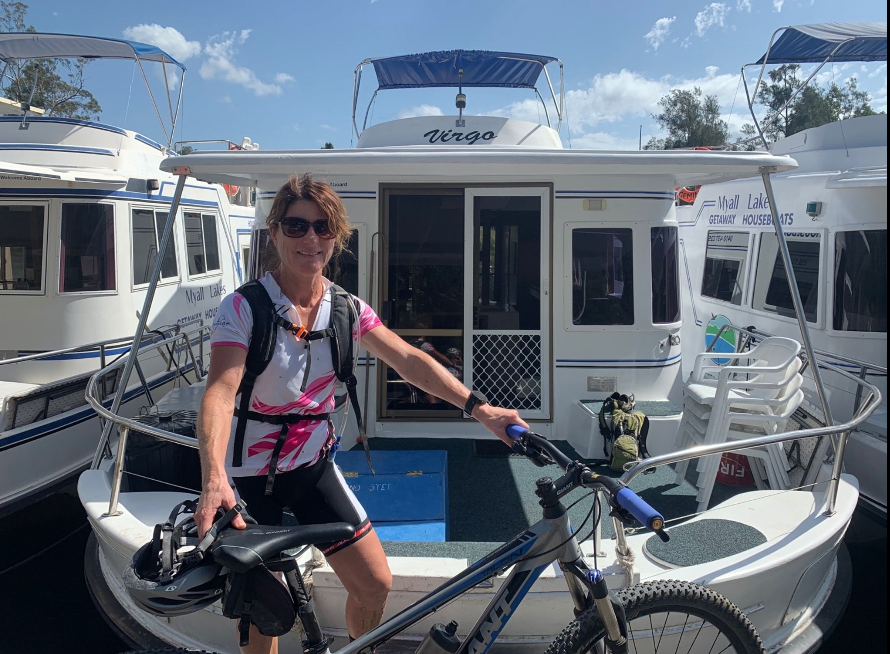
Accommodation: There are different accomodation options in both Bulahdelah and Gloucester, however, we stayed in the following - Day One - Myall Lakes Getaway House Boats. Day Two - Gloucester Caravan Park.
Things to Note
Please be aware of river crossings coming out of Gloucester back towards Dungog. We do not recommend riding this route during or after heavy rainfall. As per below.
Choose the weather carefully before you start. Two things to consider are the occurrence and amount of rain in the week proceeding your ride. There are more than 20 creek crossings and with heavy rain fall some of the crossings would be difficult to cross.
The trail passes through some very remote and difficult to access forest with no mobile coverage. Some sections have no contact with vehicles for > 4 hours, so rescue by passers-by Is not possible. It would be worth considering taking along an EPIRB for added security. It would be good to makes sure someone knows of your intended route, even if that is your previous night’s accommodation in the event of a remote mishap.
This trail is spectacular and provides a very rewarding 3 day trip, but it should not be taken lightly. Riders need to be well prepared and capable of doing long rides >70k (6-8 hours) over very rough terrain in parts. Climbs are quite large, make sure you study elevation charts and be sure you are capable of riding ascents up to 600 metres.
It is not recommended to use anything less than a well maintained mountain bike. A gravel bike would be possible by a very competent rider, but some of the creek crossings and loose surfaces would be a real challenge.
Other than the section from Dungog to Bulahdelah, where you pass through Stroud and can have lunch and top up water, no other parts of the ride allow for replenishment of supplies before arriving at your destination for the day. You will need to carry all food and water needed for each day.
This ride is very well suited to riding through autumn, winter and spring. Summer temperatures and the need to carry sufficient water for a full day would make the ride very difficult.
This is not a marked trail, so you need to ensure that you have download .gpx files which make navigation easy. It is also suggested that you have sufficient battery to run device for a full day and it is recommend that you have a paper copy of the cue sheet as a backup in the event of power loss.
Please respect gate etiquette and close gates.
DAY ONE - DUNGOG TO BULAHDELAH
Distance: 77kms
Ride with GPS: https://ridewithgps.com/routes/29871300
Accomodation: Overnight in Bulahdelah

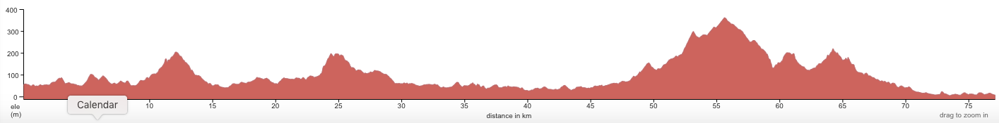
Elevation - Dungog to Bulahdelah
DAY TWO - BULAHDELAH TO GLOUCESTER
Distance: 62kms
Ride with GPS Day Two - https://ridewithgps.com/routes/29506255
Download Day Two Directions Here
Accommodation: Overnight Gloucester


DAY THREE - GLOUCESTER TO DUNGOG
Distance: 78kms
Ride with GPS Day Three: https://ridewithgps.com/routes/29506269